Drone Mapping Workshop
Drone Mapping Training
with Krieshen Ramkhelawan (GISsat) & Sheetal Sujan, at Esri’s partner Lybra
”Mapping the future, one flight at a time”
”The best way to map the future is to fly it.”
“With drones, we’re exploring uncharted territories—not just of land, but of human innovation.” – Chris Anderson,

Join us for a two day hands-on training designed for professionals looking to master drone mapping workflows, from flight planning to data processing and visualization. The training will cover both hardware and software, ensuring participants gain practical experience with DJI drones, DroneDeploy, ArcGIS SiteScan, and ArcGIS Online.
Leveraging ArcGIS Online:
From Data to Dynamic Web Maps

Day 1 will introduce you to get familiar with
drone software and hardware, learning how to plan efficient flights for
high-quality data collection. Key topics include:
Day 2 is dedicated to hands-on flight operations and post-processing.
By the end of this training, participants will have the skills to capture, process, and share drone imagery effectively within a GIS environment.
On the first day, participants will get familiar with drone software and hardware, learning how to plan efficient flights for high-quality data collection.
Key topics include:
- Introduction to DroneDeploy and ArcGIS SiteScan
- Understanding drone hardware and its configurations
- Setting up and executing flight plans in mapping software
- Ensuring data accuracy and compliance for drone-based surveys
The second day is dedicated to hands-on flight operations and post-processing.
Participants will:
- Conduct an actual drone flight, applying the planned flight parameters
- Process collected imagery into Digital Terrain Models (DTM), Digital Surface Models (DSM), and Point Clouds
- Share and analyze outputs using ArcGIS Online, enhancing maps with Survey123 and FieldMaps
- Explore collaboration features for integrating drone imagery into GIS workflows
By the end of this training, participants will have the skills to capture, process, and share drone imagery effectively within a GIS environment.
Course Outcomes
DRONE FLIGHT PROFICIENCY
Gain hands-on experience with drone hardware and software, learning how to set up and execute safe and efficient drone flights for mapping and data collection.
FLIGHT PLANNING & MAPPING SOFTWARE
Master DroneDeploy and ArcGIS SiteScan, understanding flight parameters, mission planning, and data acquisition best practices for high-precision mapping.
DATA PROCESSING & ANALYSIS
Transform raw drone imagery into Digital Terrain Models (DTM), Digital Surface Models (DSM), and Point Clouds, preparing datasets for GIS applications.
INTEGRATION WITH GIS & WEB APPS
Learn how to upload, analyze, and share drone imagery using ArcGIS Online, embedding outputs into dashboards and web applications.
SPATIAL DECISION-MAKING
Enhance decision-making by integrating drone imagery with field data from Survey123 and FieldMaps, improving operational insights and project planning.
INDUSTRY-READY SKILLS
Develop practical skills that can be applied in surveying, construction, agriculture, and environmental monitoring, making you a proficient drone mapping specialist.
Who Is This Training For?
This course is:
Designed for Professionals and enthusiasts looking to leverage drone technology for mapping, analysis, and decision-making.
It is ideal for:
- Surveyors & GIS Specialists – Improve spatial data collection efficiency and enhance GIS workflows with high-resolution aerial imagery.
- Construction & Infrastructure Professionals<span? – Conduct site monitoring, track progress, and generate accurate terrain models for project planning.
- Agriculture & Environmental Experts – Utilize drone imagery for land assessment, vegetation analysis, and environmental monitoring.
- Government & Urban Planners – Support land use planning, disaster response, and infrastructure development with geospatial intelligence.
- Academics & Researchers – Gain hands-on experience with drone-based data collection and analysis for research applications.
This training equips participants with end-to-end knowledge of drone mapping—from flight planning and execution to data processing and GIS integration—ensuring they can effectively apply drone technology in their respective fields.

Course Requirements

No Prior Drone Experience Needed
This workshop is designed for both beginners and professionals. No prior experience with drones is required, but a basic understanding of GIS concepts is recommended.

Bring a Laptop
Participants must bring their own laptops with an up-to-date browser. A stable internet connection is required for software installations and cloud-based processing.

Basic GIS Knowledge
A general understanding of GIS and spatial data is beneficial. Knowledge of mapping applications will enhance your learning experience but is not mandatory.

Extras
Not Required
Smartphone or Tablet
Bringing a smartphone or tablet is not required for using mobile GIS apps like Survey123 and FieldMaps during field exercises.
Drone
Participants who own a DJI Phantom 4 Pro or DJI Mavic 4 Enterprise are not required to bring their drone for hands-on practice, but a drone will be provided for training.
Course Modules
Day 1
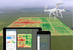
Part 1: Introduction & Safety Briefing
Duration: 30 min
- Overview of drone mapping
- Training objectives
- Legal requirements
- Safety protocols
- Drone regulations

Part 2: Drone Hardware & Sensors Overview
Duration: 1 hour
- Differences between DJI Phantom 4 Pro & DJI Mavic 4 Enterprise
- Camera types, sensors, flight modes, and controller usage.
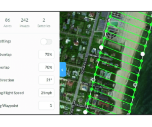
Part 3: Advanced Flight Planning in DroneDeploy & SiteScan
Duration: 1.5 hours
- Setting up missions
- Defining area, flight altitude, overlaps, and expected output quality
- Battery estimation
- Flight time calculation
- Resolution vs. altitude considerations
- Manual vs. automated control

Part 4: Pre-flight Checklist & Mission Simulation
Duration: 45 min
- Drone calibration
- Pre-flight checks; no-fly zones, weather conditions, emergency procedures
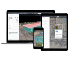
Part 5: Hands-on: Configuring Flight Plans
Duration: 2.5 hours
- Participants create and configure flight plans in DroneDeploy and SiteScan
- Review mission parameters
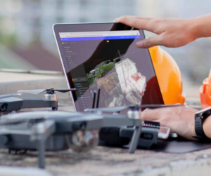
Part 6: Field Setup & Drone Readiness Check
Duration: 1 hour
- Checking airspace
- Drone connectivity
- GPS signals
- Battery levels
- Setting up the launch site
Day 2
Part 7: Live Flight Execution & In-Field Data Review
Duration: 2 hours
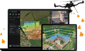
- Conducting actual flights using planned missions. Each participant operates under guidance.
- Reviewing image quality, overlap percentage, potential issues, and correcting if needed.
Part 8: Uploading & Processing Data
Duration: 1.25 hours
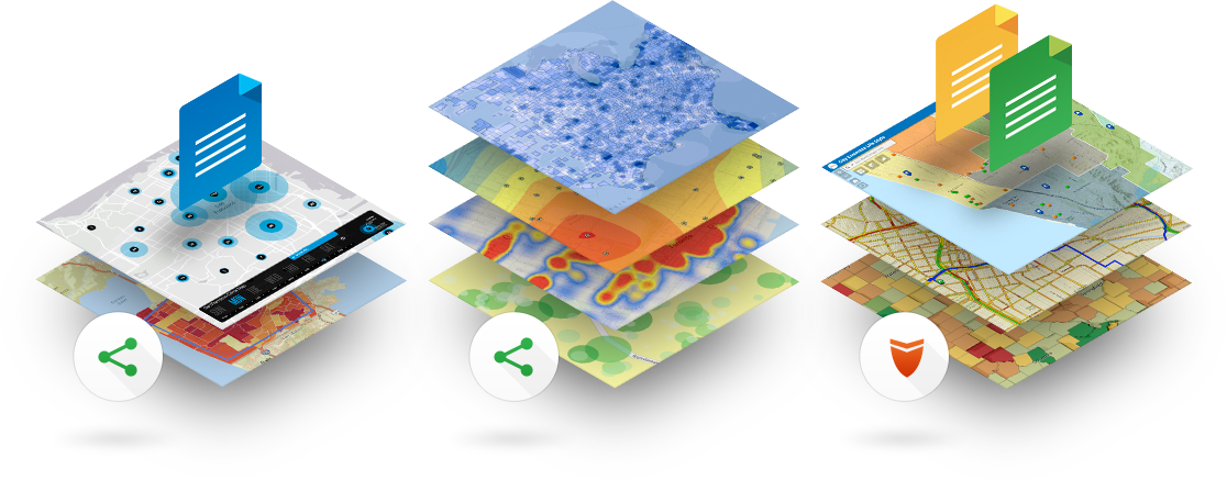
- Upload images to DroneDeploy
- Generate Orthomosaic, DSM, DTM, and Point Cloud
- Compare outputs
- Process using SiteScan
- Analyze data consistency

Part 9: Publishing to ArcGIS Online
Duration: 1 hour
- Creating a Web App & Dashboard
- Adding outputs to ArcGIS Online
- Configuring layer styles
Part 10: Field Data Integration (Survey123 & FieldMaps)
Duration: 30 min
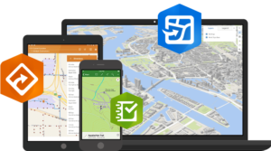
- How to enhance drone products with additional survey data
Training Features
- Platform: In-Person
- Duration: 2 days
- Timing: 08:00 – 15:00
- Location: Lybra Training, Coaching & Consulting, Doloresstraat #33
- Includes: Refreshments & Lunch
- Language: Dutch
- Max participants: 6 people
Pricing: Request a quotation
Target Audience: GIS practitioners, non-GIS professionals, Construction & Infrastructure Professionals, Agriculture & Environmental Experts, Government & Urban Planners
*For individuals seeking to assess their skill level or demonstrate acquired expertise, additional evaluation or assessment mechanisms may be required. The workshop certificate should be considered as a testament to your active involvement rather than an indicator of skill proficiency.
- Have questions about this workshop, feel free to contact us with any questions or concerns?

Frequently Asked Questions
Lybra is Esri partner in Suriname. Lybra provides ArcGIS training and ArcGIS Online integrations with information systems.
GISsat is Esri distributor in Suriname. GISsat provides software and core ArcGIS professional services.
Lybra offers guidance and training towards achieving your Esri certification.
No, during the training you will be facilitated by Lybra.
Lybra provides in-person training for groups starting at 5 persons per group.
Pricing depends on your training needs. Every request is unique.
Please email us on info@lybragroup.com with your training needs, so that we can create a fitting proposal and quotation.
Yes, Lybra is specialized in all the components of ArcGIS Online and provides basic to advanced
training in each component.
Lybra can offer services in guiding you towards your specific GIS training needs.
Yes, after successful participation and completion of training programs, participants receive a certificate.
Yes, Lybra offers training in drone flight planning, flight execution and post processing of dronecaptured images towards Digital Elevation Models, Digital Surface Models, 3D models, Mesh and Orthomosaics.
Sheetal is a seasoned professional with a wealth of experience in delivering professional development programs to individuals, teams, and corporate organizations. Sheetal is driven by a passion for helping individuals and organizations reach their full potential, and is dedicated to delivering high-quality training programs. Lybra Training, Coaching & Consulting specializes in digital transformations for organizations in both the public and private sectors. With Sheetal leading the team, Lybra Training, Coaching & Consulting continues to deliver cutting-edge solutions for its clients in Suriname, and beyond. Sheetal will guide us through all projects Lybra has conducted in collaboration with its partners. She will be introducing various speakers who will then share their insights and provide a demo of their digital transformation results.
GISsat is the distributor of GIS solutions for Esri and Trimble. Lybra and GISsat join forces in helping their mutual clients in their digital transformations. Ramkhelawan will share the evolution of digital transformations of the past decade in Suriname. The past decade has seen a significant shift in the way the public sector approaches digital transformation. Data migration and data conversion have been crucial in modernizing legacy systems, while low-code and lean information system development have enabled faster and more cost-effective implementation of new technologies. These approaches have been instrumental in improving the delivery of services primarily for internal government processes.
Happy Clients
